Switzerland · France · Jura · The Doubs
A village split by a river and a border, climbs up onto the Jura plateau on both sides, and 14 rides going back to 2012.
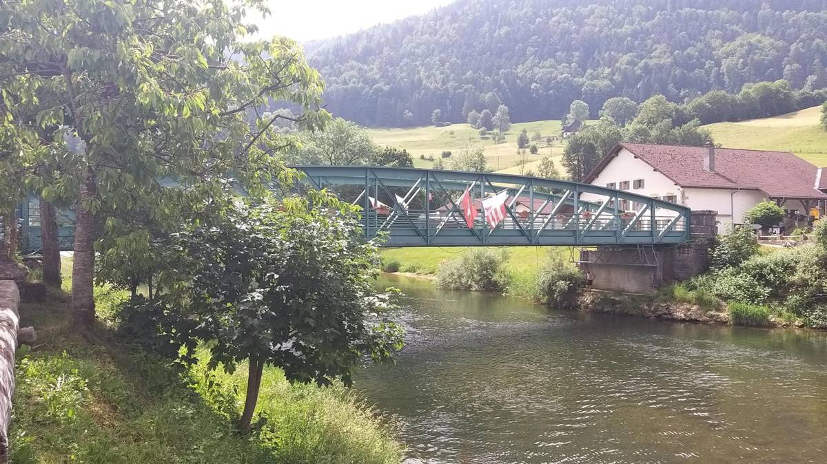
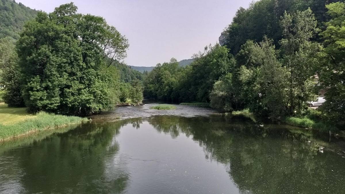
Goumois sits on the Doubs river exactly where it forms the Swiss–French border — and the village itself is split by it. The school is on the Swiss side, the church is in France, and locals have had permission to cross for services since 1830. It's a real working border crossing, not a themed one, and it's the starting point for every ride on this page.
Why Goumois works so well as a base
Everything here climbs up out of the river valley onto the Jura plateau — toward Saignelégier and Le Noirmont to the north-east, or across the border into France toward La Goule. It's Jura plateau riding, not Alpine switchbacks: long, rolling climbs up onto the tableland rather than short brutal ramps, though a couple of the shorter connecting roads still hit real double-digit grades.
Six rides built so far
Fourteen real rides make up the Goumois history, spanning 2012 to 2025; six are written up properly below, each with its own real GPS track, distance and climbing — from a 27km narrow-road spin to a 131km day that finished in the dark. The rest, mostly earlier exploratory visits from 2012–2014 without named routes, are still to get their own pages.
La Goule
A narrow road with barely any traffic — and the border crossing itself.
27.0km · 501m climbingLe Noirmont
"Stunning scenery" — still coming back, six years on.
36.9km · 918m climbingOut and Back Three
The double climb that defines Goumois riding, with a coffee stop built in.
49.1km · 1,204m climbingSaignelégier with Josh
Not every ride here is solo.
62.2km · 1,293m climbingSaignelégier Climbs 2022
Finished with 2% battery left. "It does not get any easier."
69.1km · 1,692m climbingThe Fog Escape, Nov 2014
Drove out to escape days of fog at home, finished the last two hours in the dark.
131.3km · 2,246m climbingThe river itself
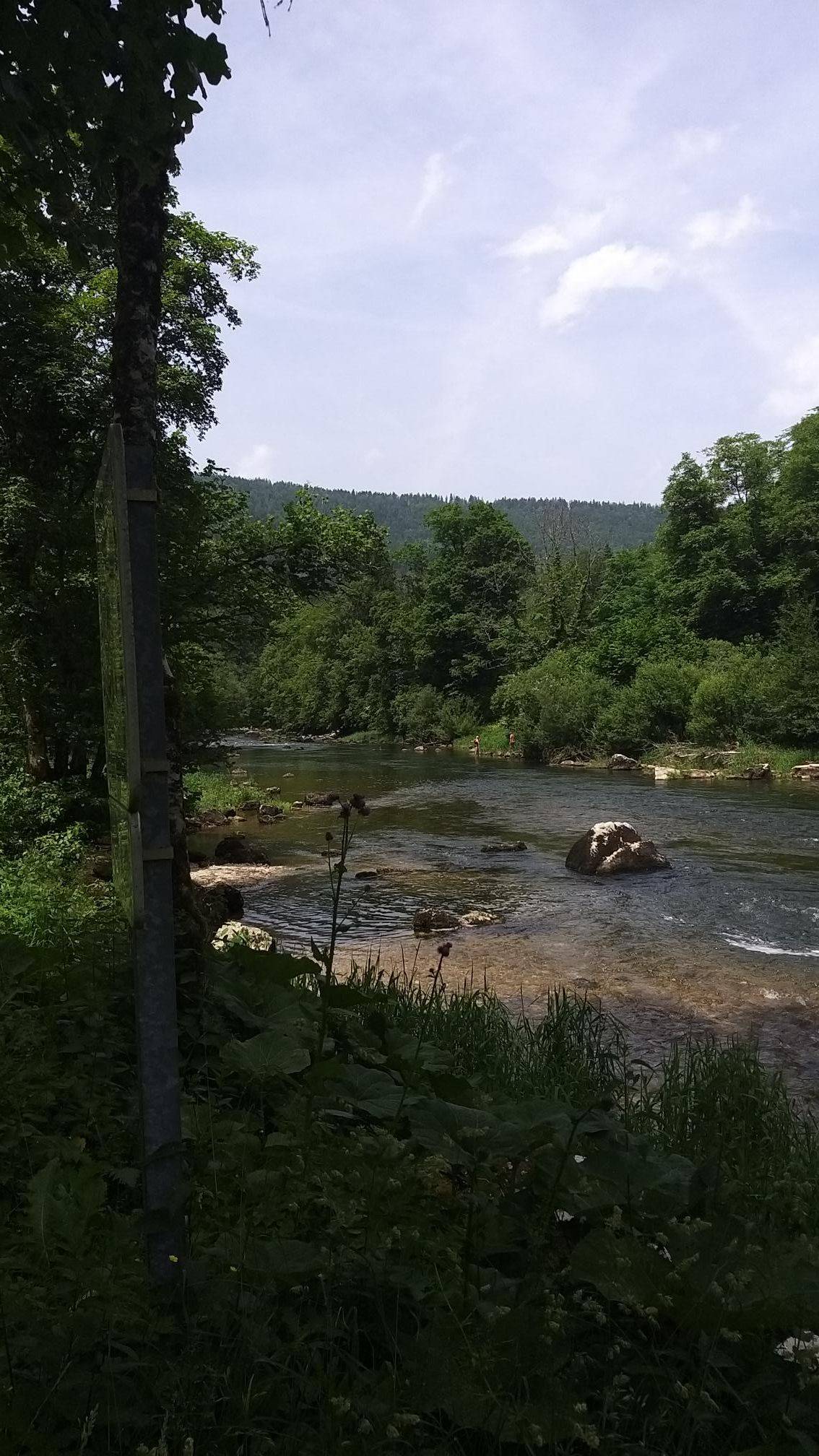
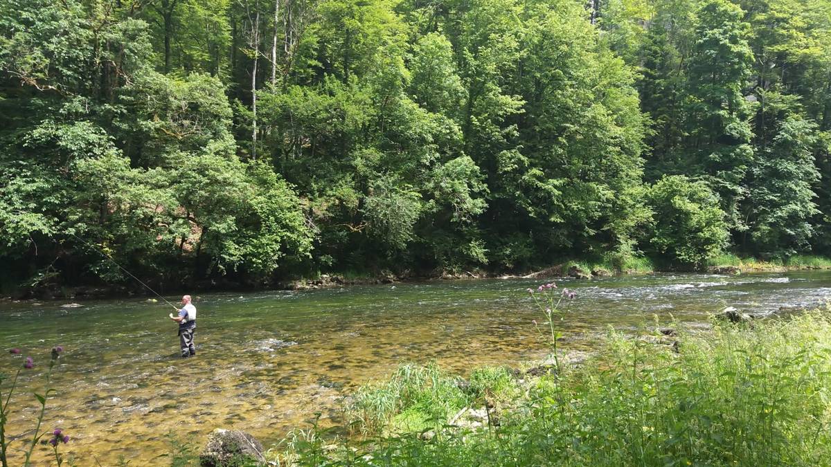
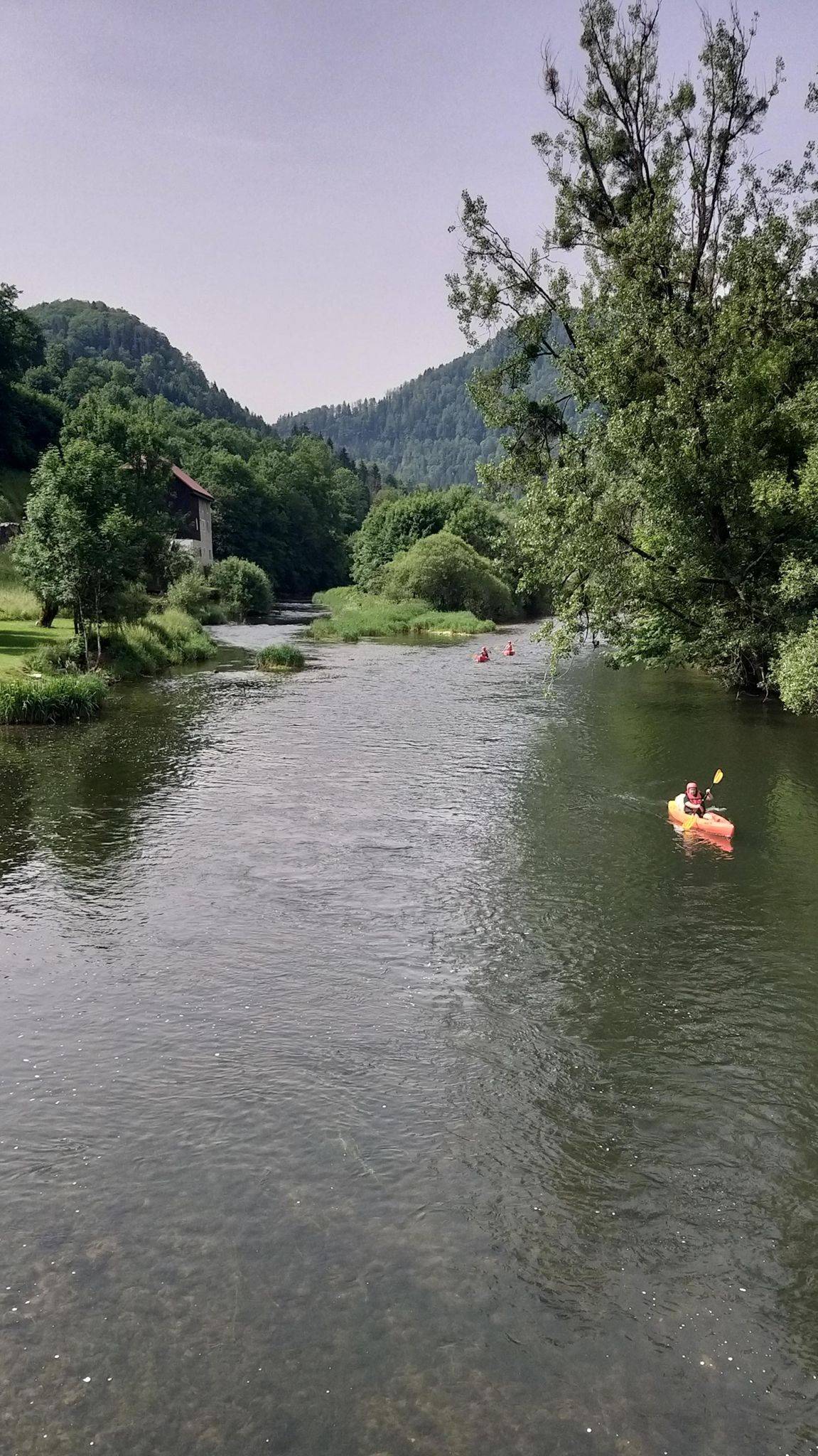
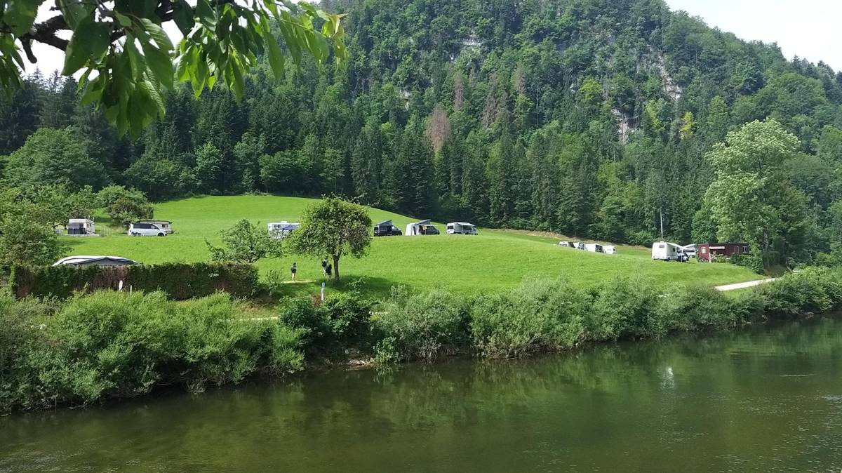
The Doubs at Goumois is genuinely photogenic and, per the photos below, genuinely used — fly-fishing is a real local pastime here, not just a guidebook line, and the riverside flats see motorhomes and campers pitched up along the bank. Two rides from 2012–2014 mention riding with "Josh" (one of them written up above), and the November 2014 ride above describes driving out specifically to escape fog sitting over home and finishing the last two hours in the dark.
What it actually looks like
📝 Kevin — needs your input
- Any food/coffee stop worth naming in Goumois itself, beyond the restaurant at La Goule mentioned on the Out and Back Three page?
- Is the riverside camper spot somewhere you've actually stayed, or just passed?
- Worth a mention of the "Échelles de la Mort" (Ladders of Death) in the Gorges du Doubs nearby — a smugglers'-route landmark on the Grande Traversée du Jura — or have you never actually been to that specific spot?
- The 2012–2014 exploratory rides (8 of the 14 total) don't have named routes yet — worth digging into those for more pages, or is the current six enough?