DRAFT — awaiting Kevin's confirm-notes below before publish. Part of the Cannobio area — see the Cannobio hub for the base itself.

Italy · Lake Maggiore · Val Cannobina · Val Vigezzo

The biggest single day of climbing in the whole Cannobio history — and the most photographed.

Ridden 29 July 2019 — more climbing than any other single Cannobio ride, and the best-documented, with 8 real photos including the gravel sections and the Saltire sign.

Route data (from Strava): 51.1km, 1,392m of climbing, max grade 45.1% — the single biggest climbing day anywhere in the Cannobio rides on this site.

The route, from Kevin's own GPS track
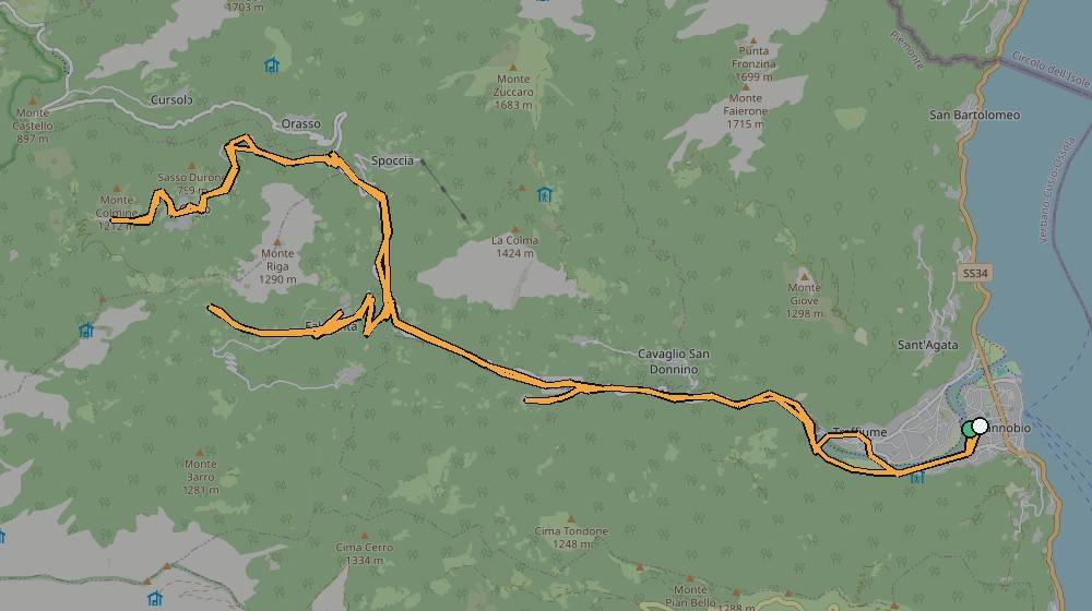
Real GPS route map of this ride from Cannobio
The actual recorded route, plotted from Kevin's own Strava GPX/FIT data onto a real OpenStreetMap base.
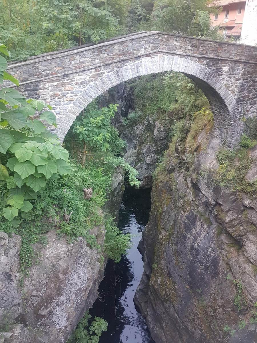
Old stone bridge over the river gorge in the Cannobino Valley
One of the old stone bridges crossing the gorge on this route.
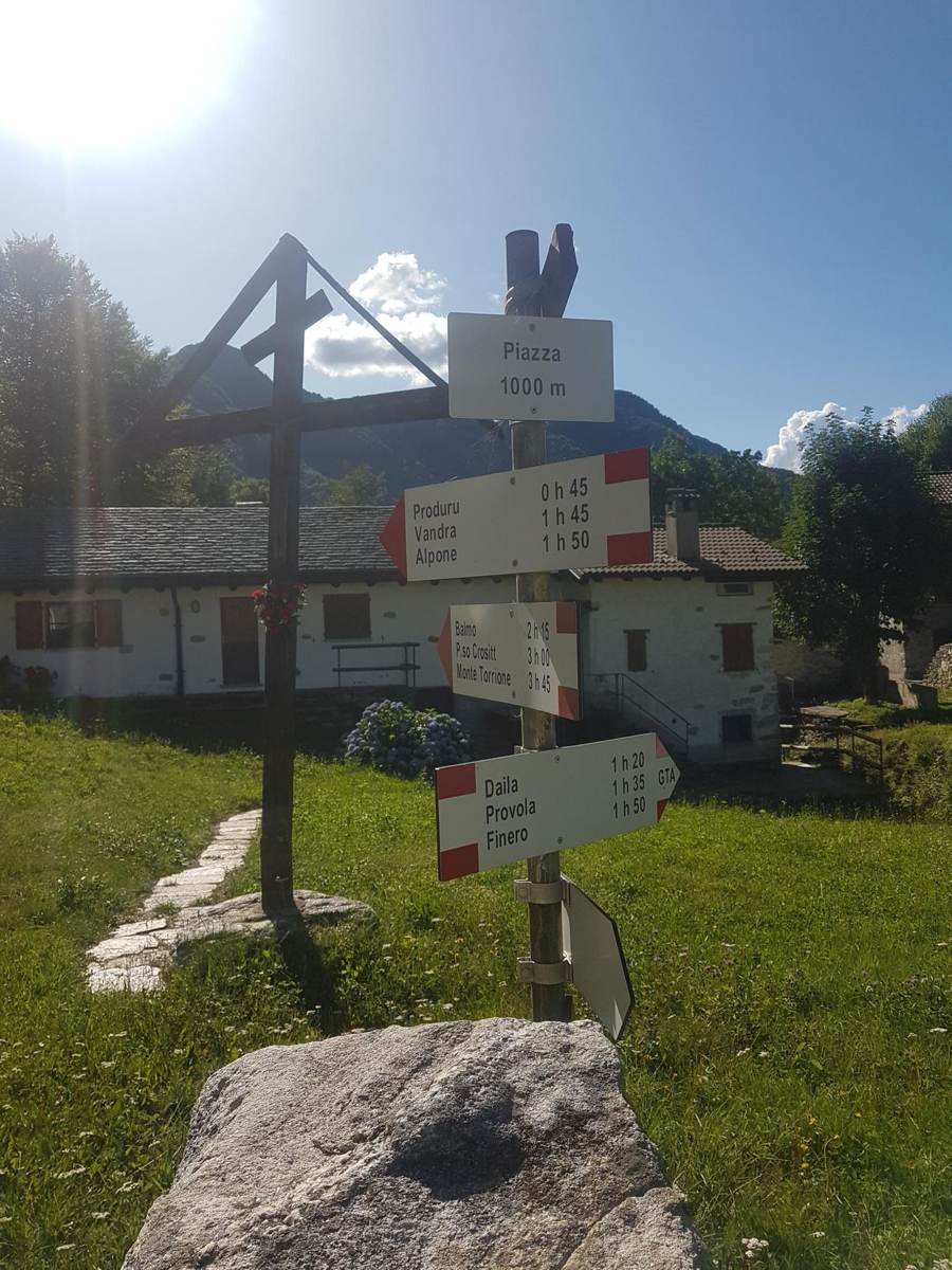
Wooden trail signpost with multiple route directions in the hills above Cannobio
Signage at one of the trail junctions on this ride.
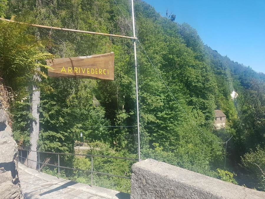
Gravel track along a stone wall above the Cannobino Valley, with a hanging sign
Gravel sections on this route.
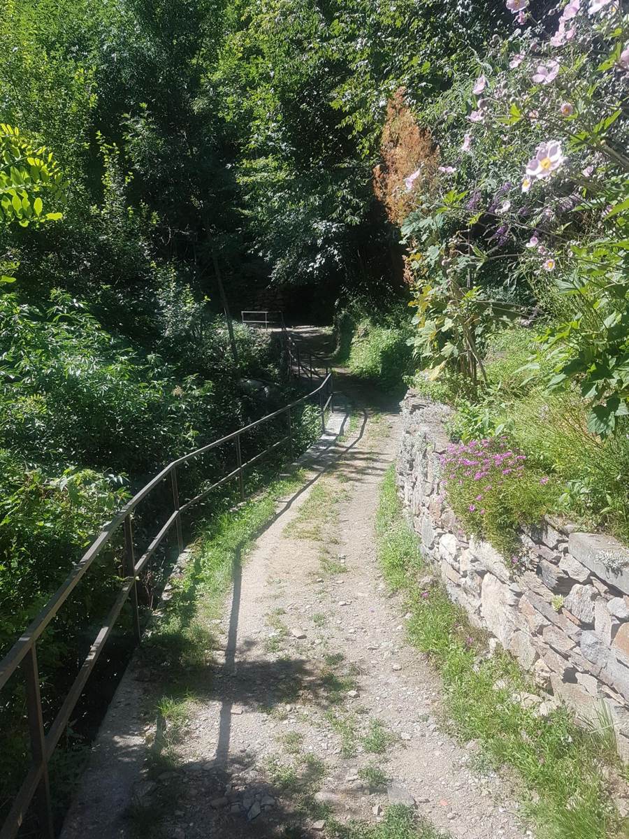
Narrow gravel track running along a stone wall in the hills above Cannobio
More gravel further up the same ride.
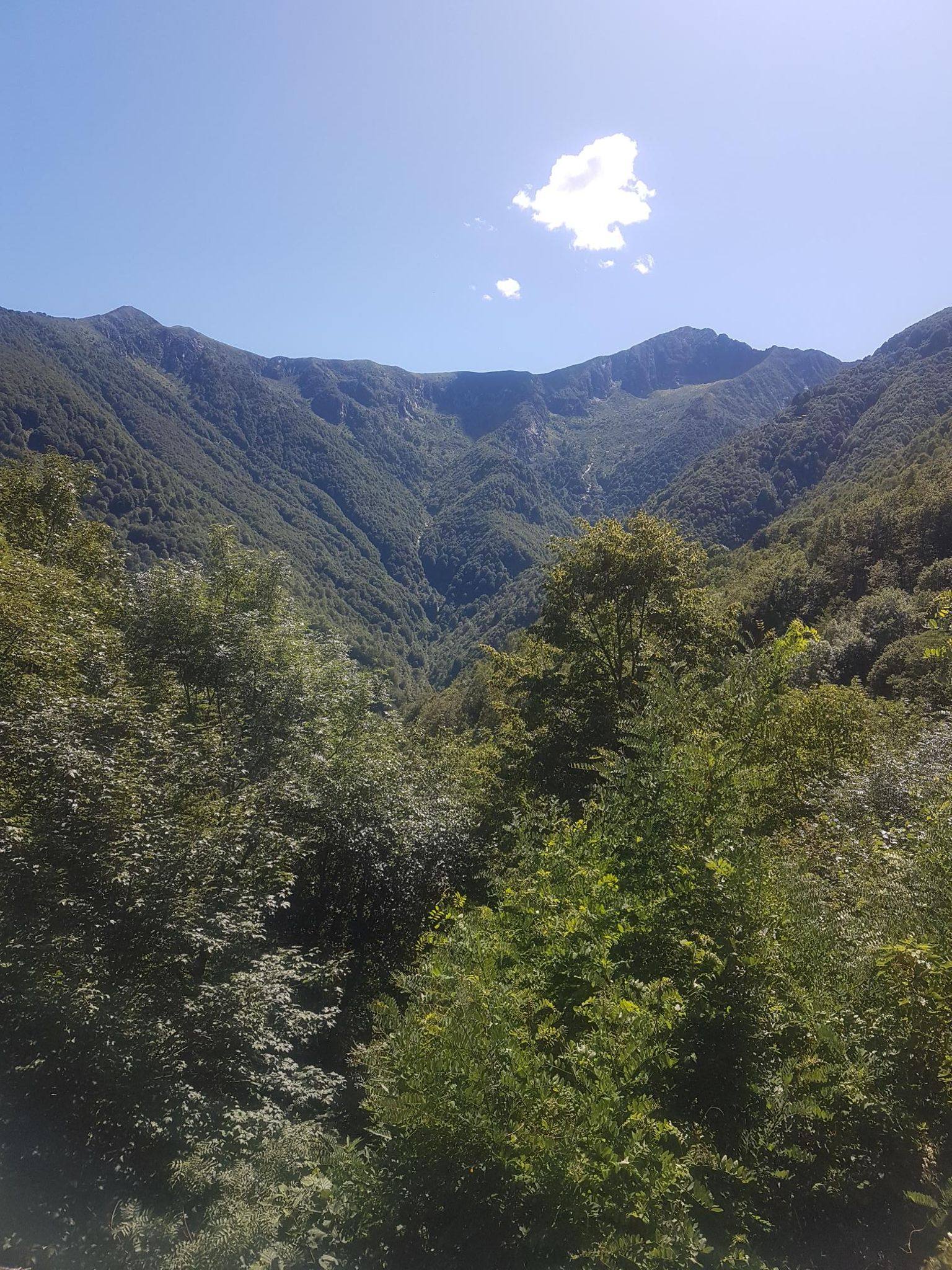
Panoramic view over the mountains above the Cannobino Valley, Cannobio, Italy
The panoramic view earned on this ride.
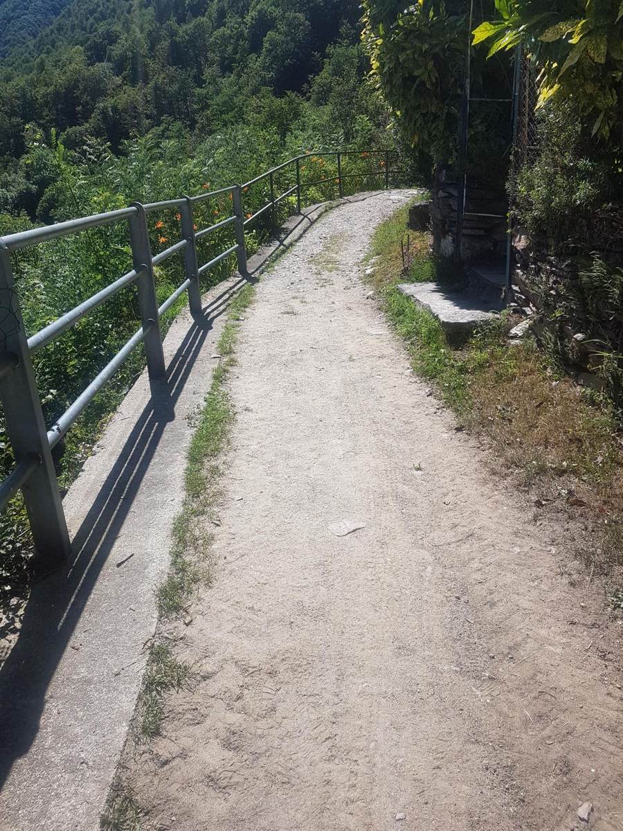
Fenced gravel path along a valley route near Cannobio
A fenced section of track on the same route.
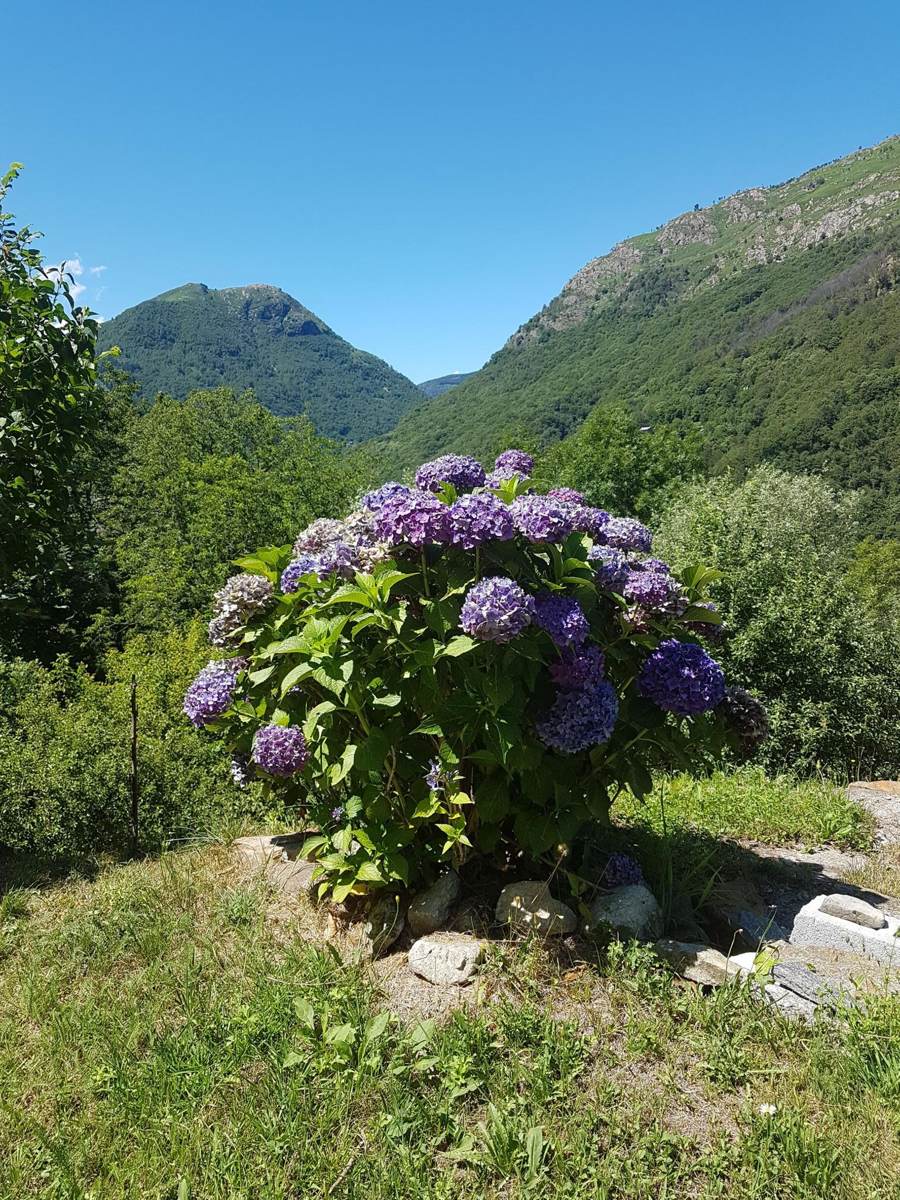
Hydrangea bush with a mountain view in the background above Cannobio
High-summer colour along the way.
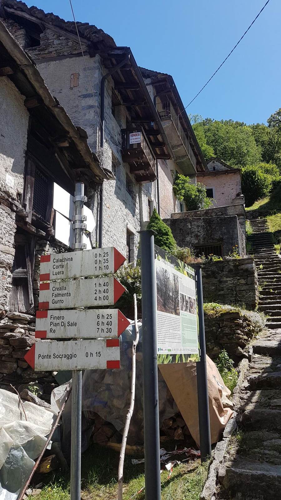
Old stone building with hiking route signs in a village above Cannobio
Route-marker signs in one of the villages passed through.

📝 Kevin — needs your input

  • Confirm the exact route — Val Cannobina, Val Vigezzo, or both combined?
  • Any food/coffee stop worth naming on this one specifically?