Italy · Lake Maggiore · Val Cannobina
Two villages, two different climbs — a winding one up, a steep one out of town.
Falmenta is a winding 3km climb with a drop back down the other side; Crealla’s climb is shorter but steeper, "especially when leaving the town."
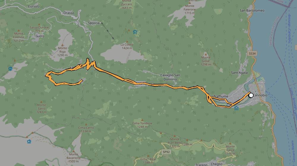
Route data (from Strava): 36.8km, 1,078m of climbing, max grade 49.8% — the shortest of the three named Cannobio climbs, but with the steepest single ramp of any of them.
The route, from Kevin's own GPS track
On the climb
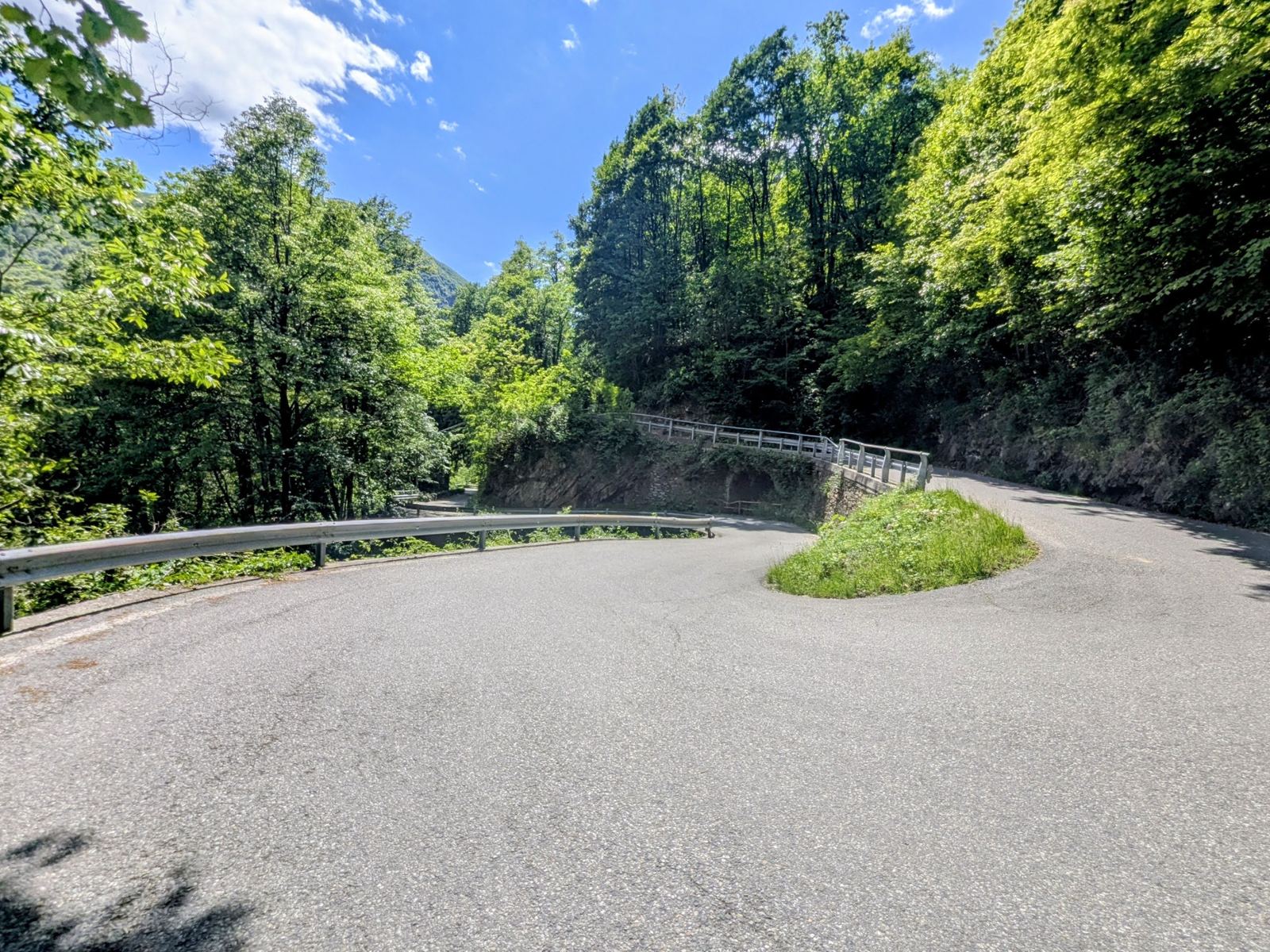
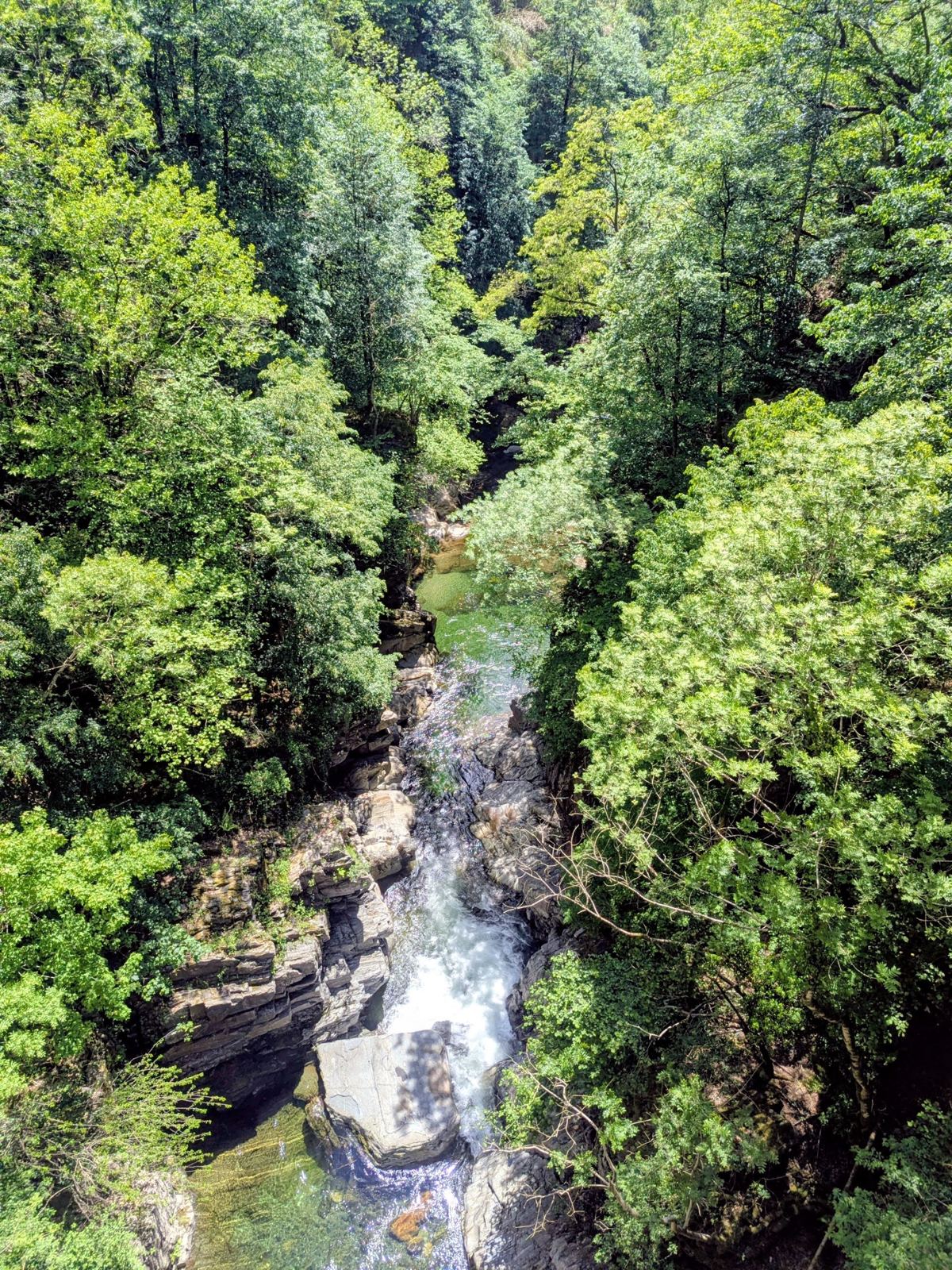
Both were taken on the 13 May 2026 ride itself, a couple of hours in.
📝 Kevin — needs your input
- Which bend or bridge is each photo — worth naming the spot?
- Which of Falmenta or Crealla is the steeper one in practice?