Italy · Lake Maggiore · Val Cannobina
"Almost car free" — the original Cannobio loop, following the valley floor.
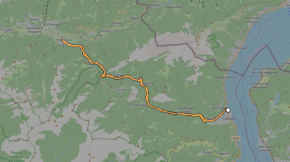
The original out-and-back, following the valley floor rather than cutting up into the side villages — Kevin’s own note calls it "almost car free."
Route data (from Strava): 52.5km, 1,292m of climbing — comparable in length and climbing to Malesco, but along the valley floor rather than up into a specific village.
The route, from Kevin's own GPS track
No dedicated photos yet
No photos attached to this ride (10 October 2021) in the export — see the confirm-note below.
📝 Kevin — needs your input
- Any photos from this ride to add?
- What makes this route "almost car free" — a specific closed/quiet road?