Scotland · Argyll & Bute · Kyles of Bute
A short gravel ride along the shore of Loch Riddon, on a camper trip out west from home.
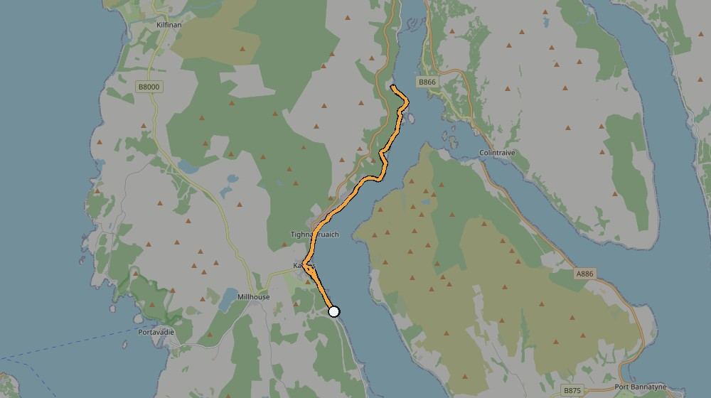
Ridden 10 June 2024, out from Kames along the shore of Loch Riddon and round into Tighnabruaich, looking straight across the Kyles of Bute — the narrow tidal channel that splits the Cowal peninsula from the Isle of Bute. Short by Gravel Health standards, but the kind of ride that's entirely about where it goes rather than how far.
Route data (from Strava): 18.4km, 269m of climbing — a short one, ridden on gravel tracks along the shore.
Kevin's own note from the ride log: "Nice short gravel ride along the shores of Loch Riddon and along the Kyles of Bute."
The route, from Kevin's own GPS track
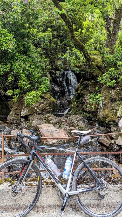
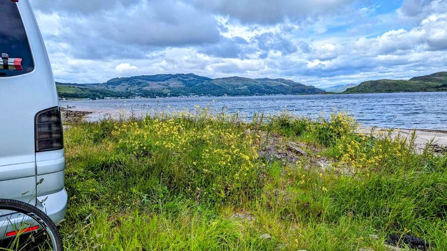
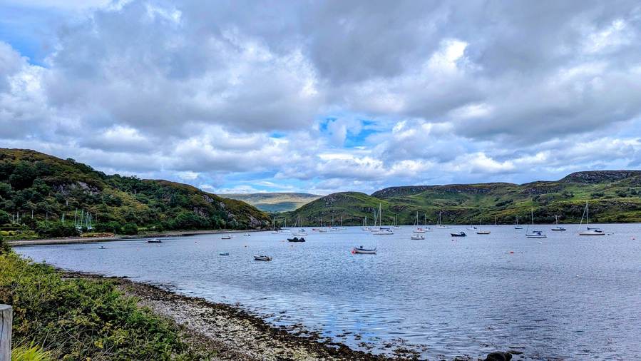
What it actually looks like
📝 Kevin — needs your input
- Was this the outbound or return leg of a longer day out west — worth linking to what came before/after on the same trip?
- Any stop worth naming in Tighnabruaich or Kames itself?