Switzerland · Ticino · Val Verzasca
"Will be back there later this year for more" — the return took a bit longer than that.
Ridden 8 July 2015, logged simply: "Lovely ride in the Versasca Valley. Will be back there later this year for more. Stunning...." The promised return — the 2019 ride — actually took four years.
This one reached Sonogno itself, the village at the head of the valley — there are coffee shops there, and Kevin also stopped at the dam (Diga di Contra) lower down on the way. On a gravel bike, the road/track keeps going even further past Sonogno, beyond what either Verzasca ride on this site has covered so far.
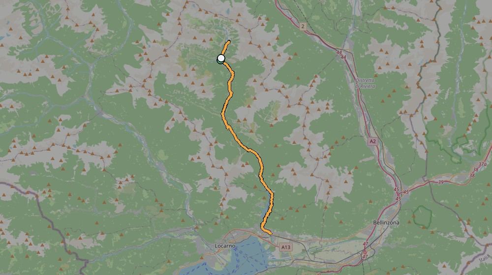
The route, from Kevin's own GPS track
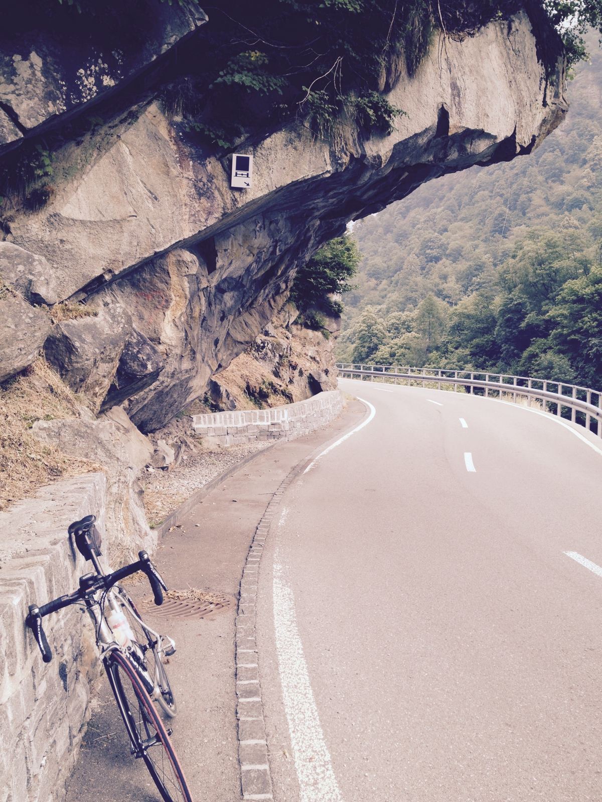
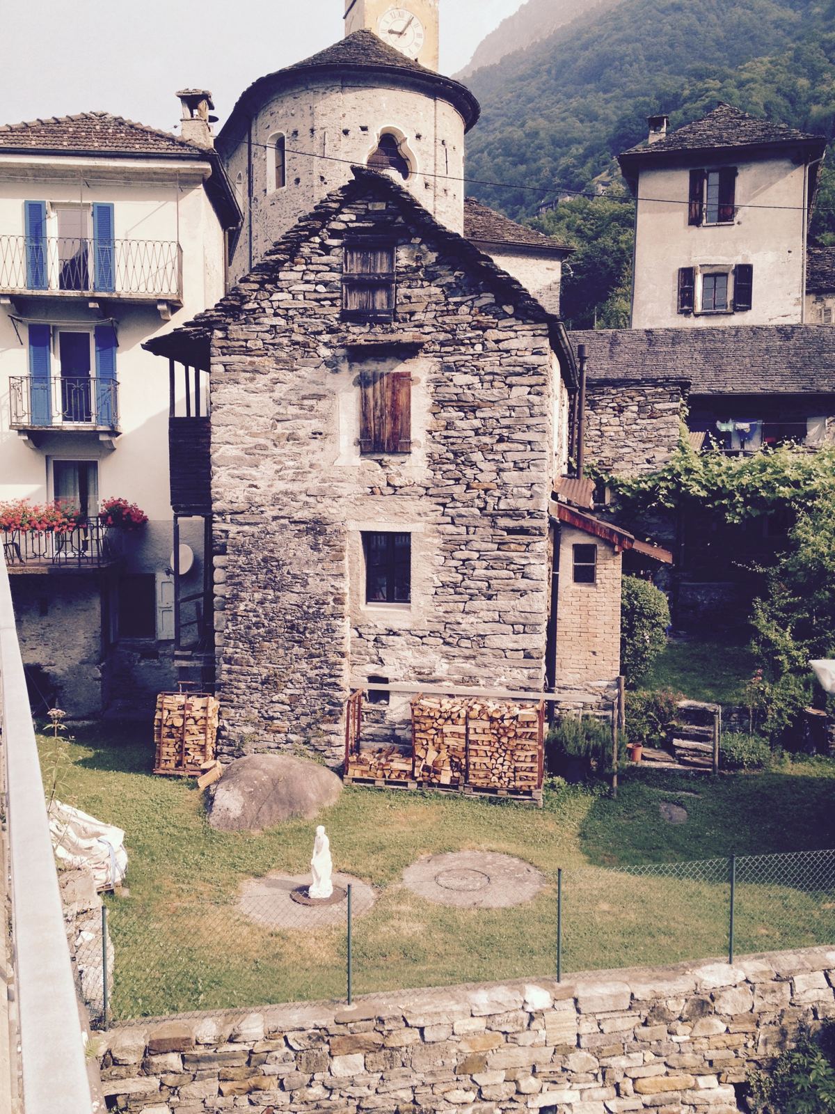
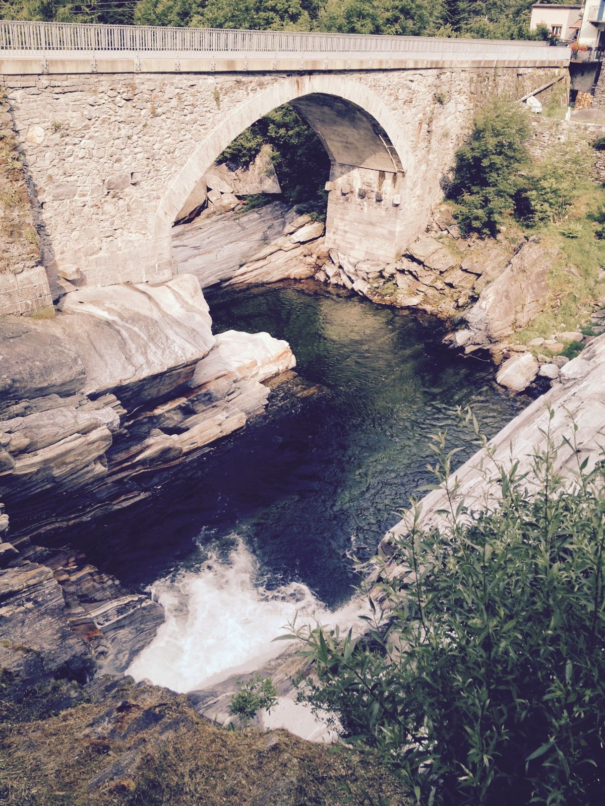
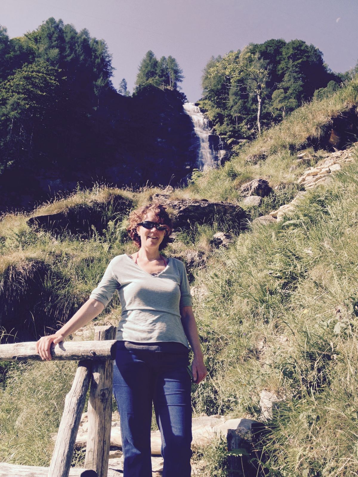
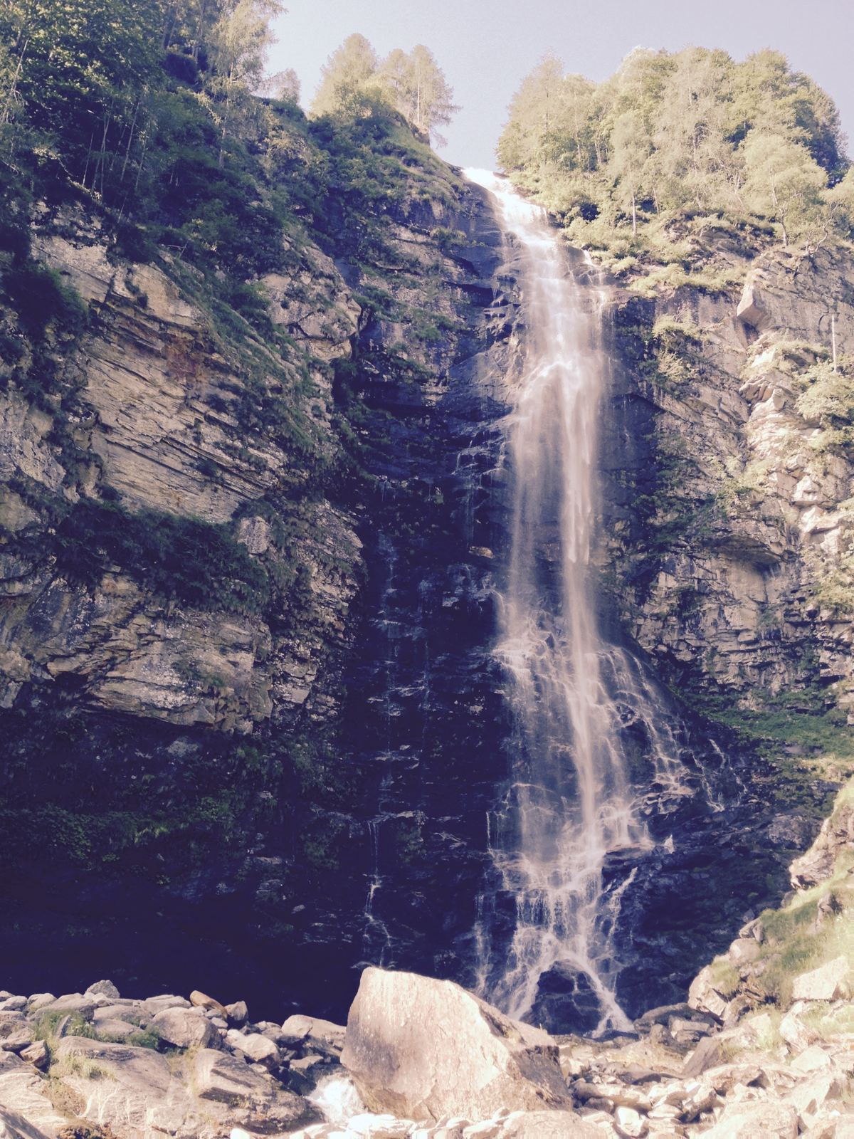
What it actually looks like
Beyond Sonogno
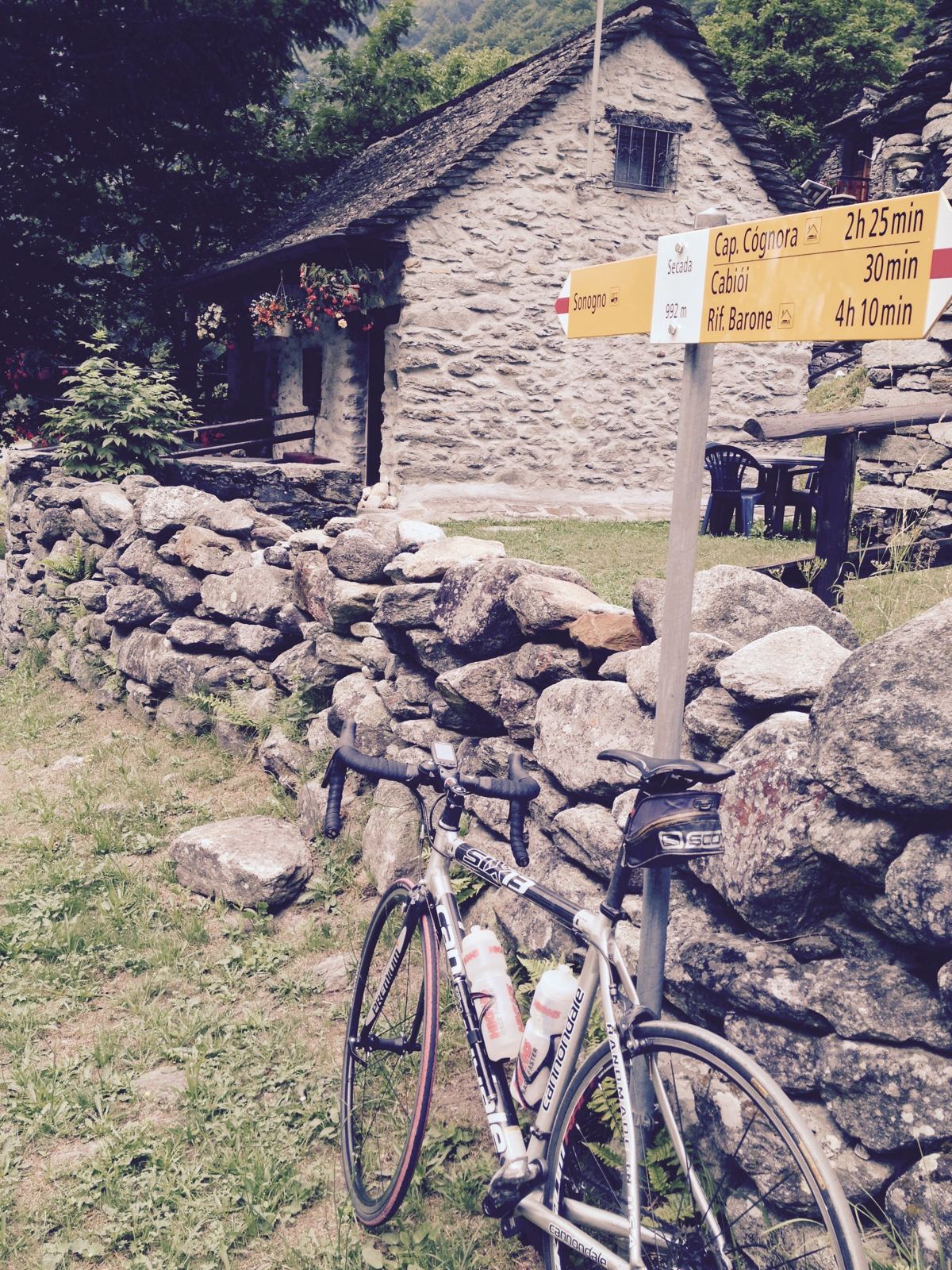
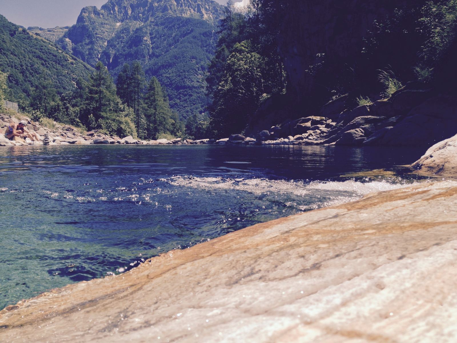
The tarmac road ends at Sonogno, but on a gravel bike there's more. A signpost at Secada, just past the village, marks the trails on: Cap. Cógnora (2h25), Cabiói (30min), Rif. Barone (4h10) — on foot, but the same ground a gravel bike opens up. There's also a nice spot for a swim in the river just past Sonogno, and a separate path continuing up along the river to another village further on — beyond what this ride's own GPS track covers.
📝 Kevin — needs your input
- Which coffee shop(s) in Sonogno — worth naming one specifically?
- What's the village called further up the river path beyond Sonogno — worth its own future ride/page?
- Confirm the swim spot photo is the same one you meant — right after Sonogno on the way back down?
- Anything from this first visit worth adding — what made it stand out enough to want to come back?